GratisGIS
Explore and publish geospatial data with maps, forms, and dashboards.
Open-source Next.js app 25AGPL-3.0
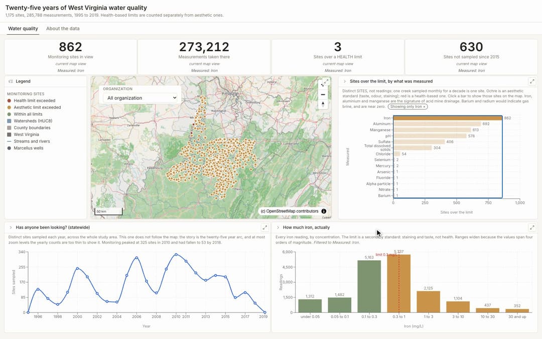
GratisGIS is a self-hosted GIS portal for datasets, web maps, forms, field collection, and interactive dashboards. Its official public test instance provides a populated Randolph County workspace. The video filters West Virginia water-quality monitoring sites by an iron measurement; map tiles and sample data remain on the upstream demo.
Stack
Next.js, NestJS, TypeScript, MapLibre
Source
License
The pinned root AGPL license covers the repository source. The recorded upstream public dashboard uses a sample workspace and visible OpenStreetMap attribution; external map tiles and source datasets retain their own terms.
Preview recorded
Recorded from the project demo. Its version may differ from the linked source.
More apps
View all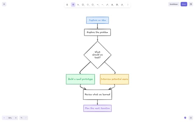 React
Excalidraw: Visual whiteboard
131.6KSketch diagrams, wireframes, and ideas on an open canvas.
 SvelteKit
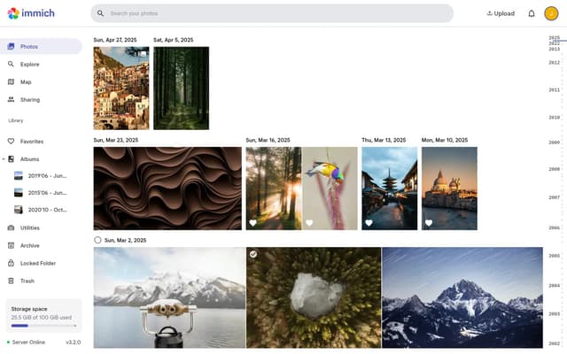
Immich: Photo and video library
113.7KBrowse, organize, and share a self-hosted photo collection.
 Vue
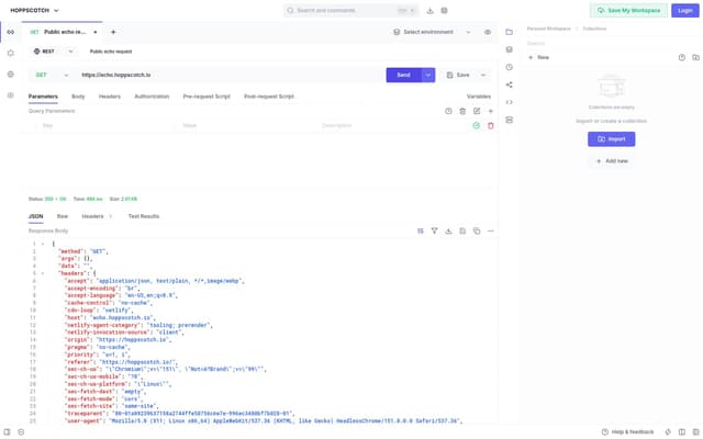
Hoppscotch: API workspace
80.3KCompose API requests and inspect responses in a browser workspace.
 React
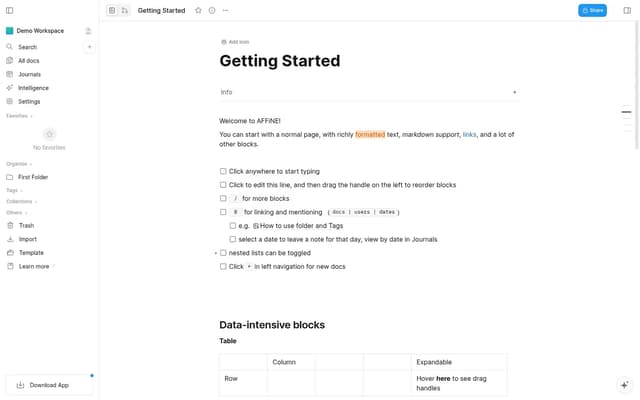
AFFiNE
72.4KCreate a local-first workspace with rich documents, visual boards and a flexible block editor.
 React
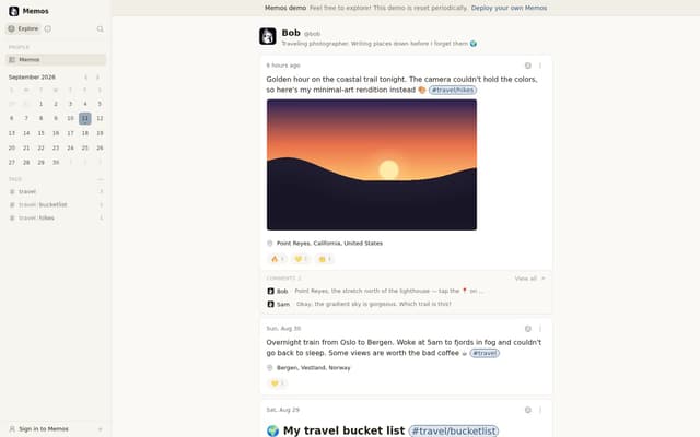
Memos: Quick notes
62.9KCapture short notes and organize a personal knowledge timeline.
 React
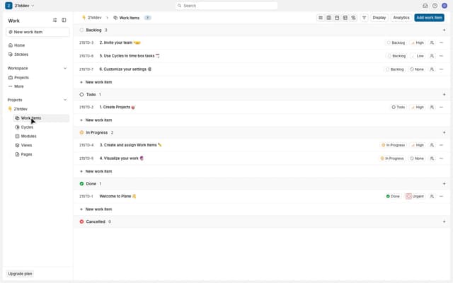
Plane
59.2K🔥🔥🔥 Open-source Jira, Linear, Monday, and ClickUp alternative. Plane is a modern project management platform to manage tasks, sprints, docs, and triage.